
GEOSPATIAL

GEOSPATIAL
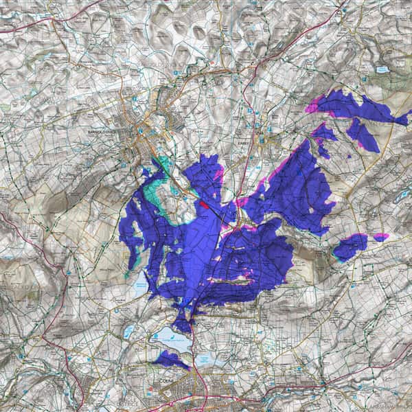
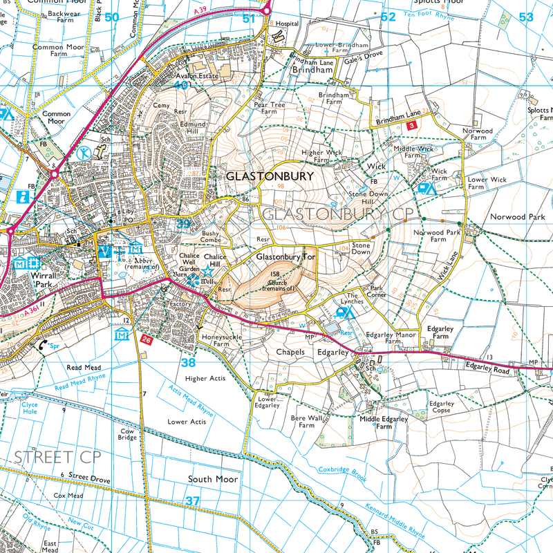
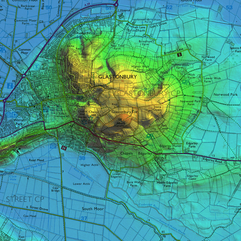
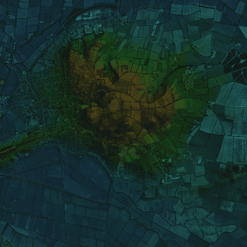
MS Environmental uses Ordnance Survey Terrain 5 and OpenData™ terrain data for terrain modelling in combination with LIDAR composite digital data for more detailed modelling. Site topographic surveys can be incorporated into such datasets. A range of GIS packages are used to calculate theoretical visibility and visual buffers can be added to these models to illustrate the reduction in visibility due to buildings, woodland and other vertical features.
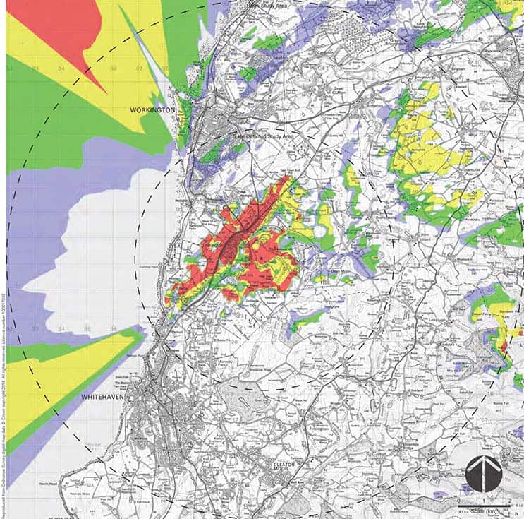
ZTV Visual Buffer
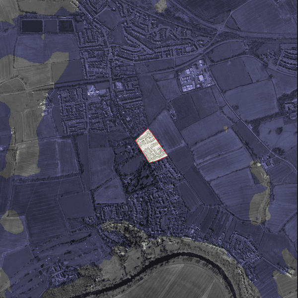
ZTV Bare Earth
Glastonbury Perspective Lidar Views
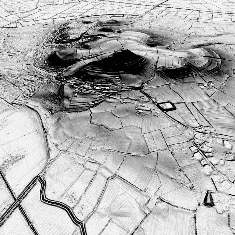
Glastonbury Perspective Lidar Views
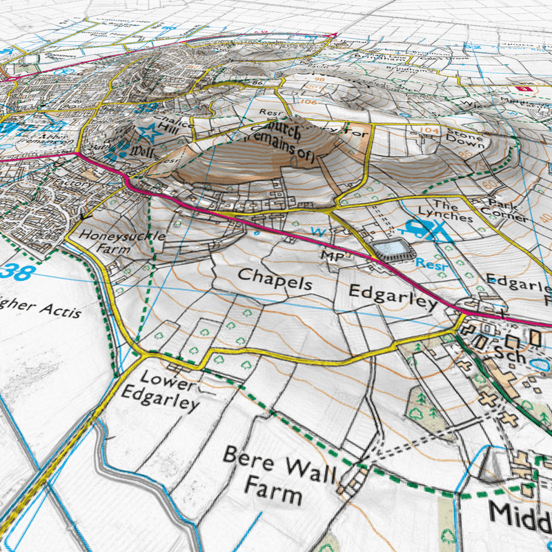
Glastonbury Perspective Lidar Views
Glastonbury Perspective Lidar Views
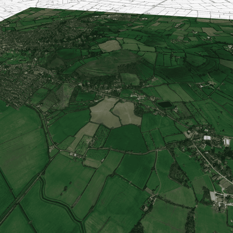
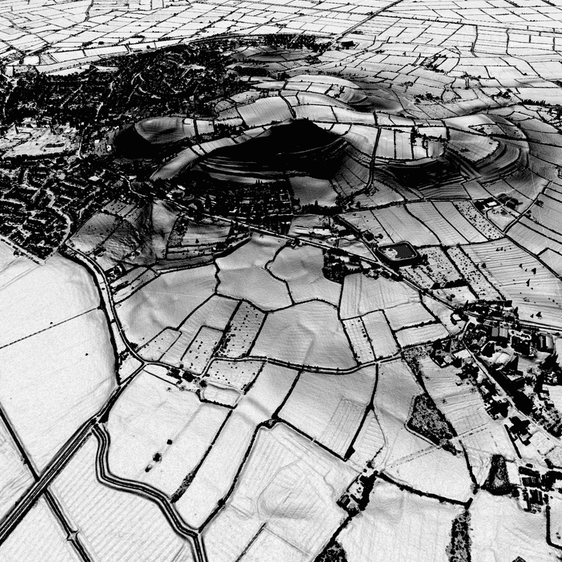
Glastonbury Aerial Lidar Views
Glastonbury Aerial Lidar Views
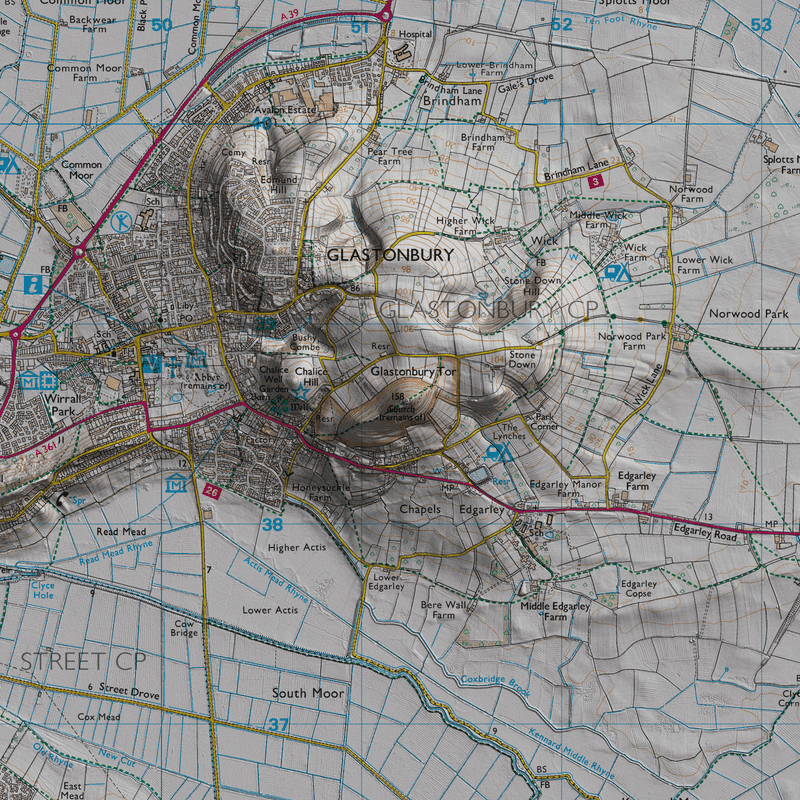
Glastonbury Aerial Lidar Views
Glastonbury Aerial Lidar Views
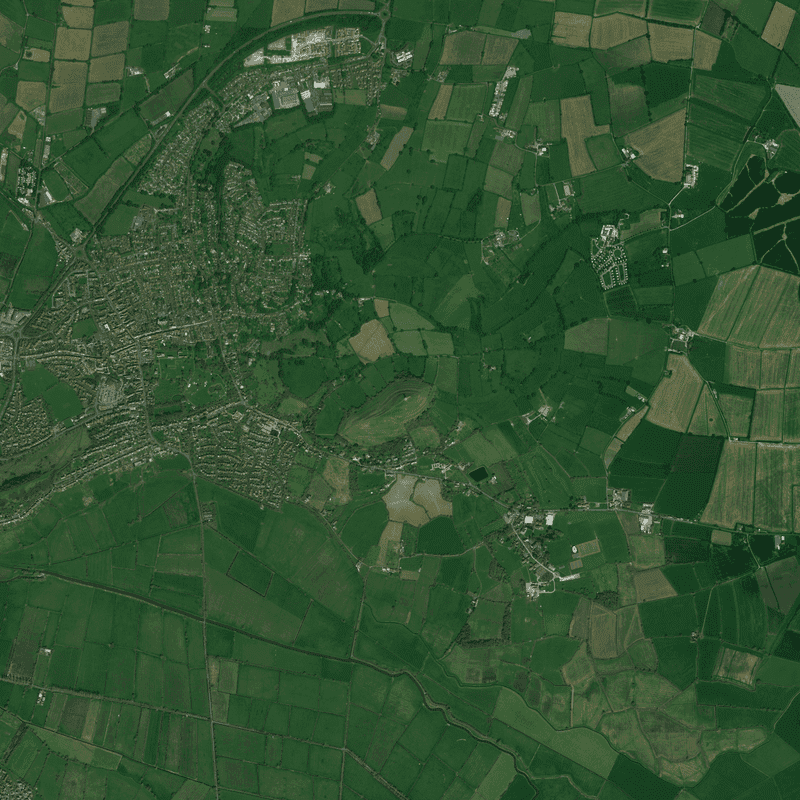
Glastonbury Aerial Lidar Views
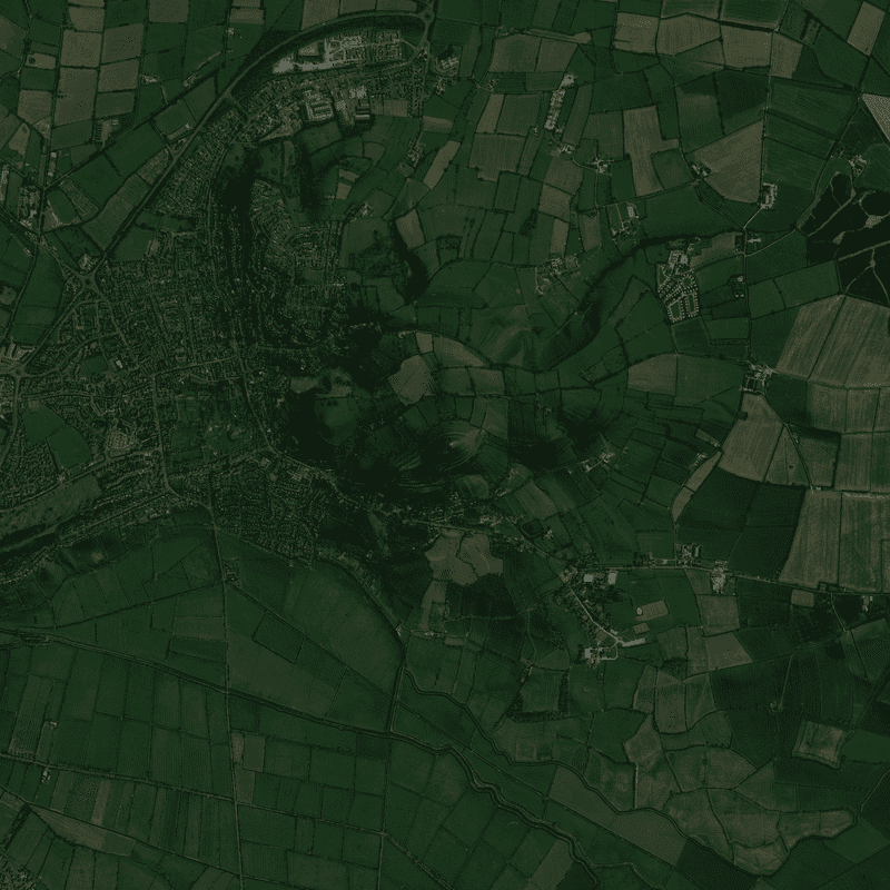
Glastonbury Aerial Lidar Views
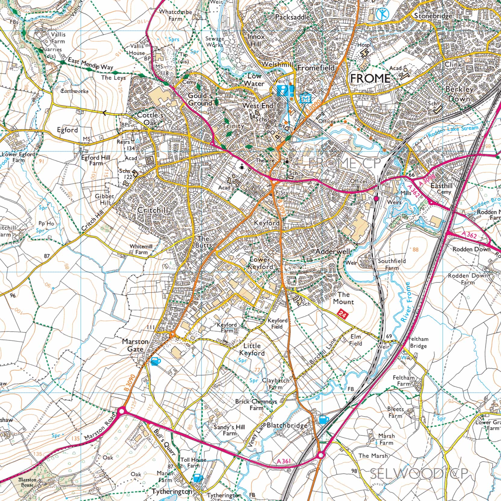
Frome Lidar Data
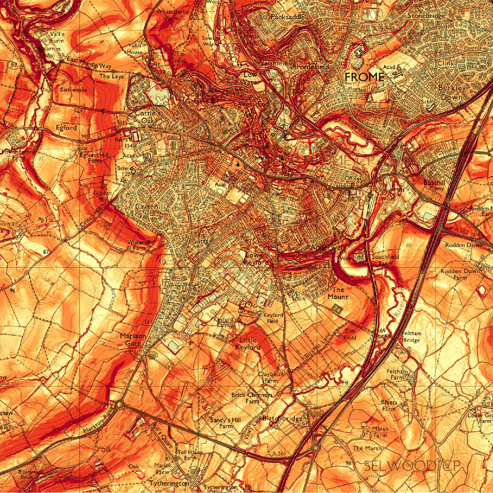
Frome Lidar Data
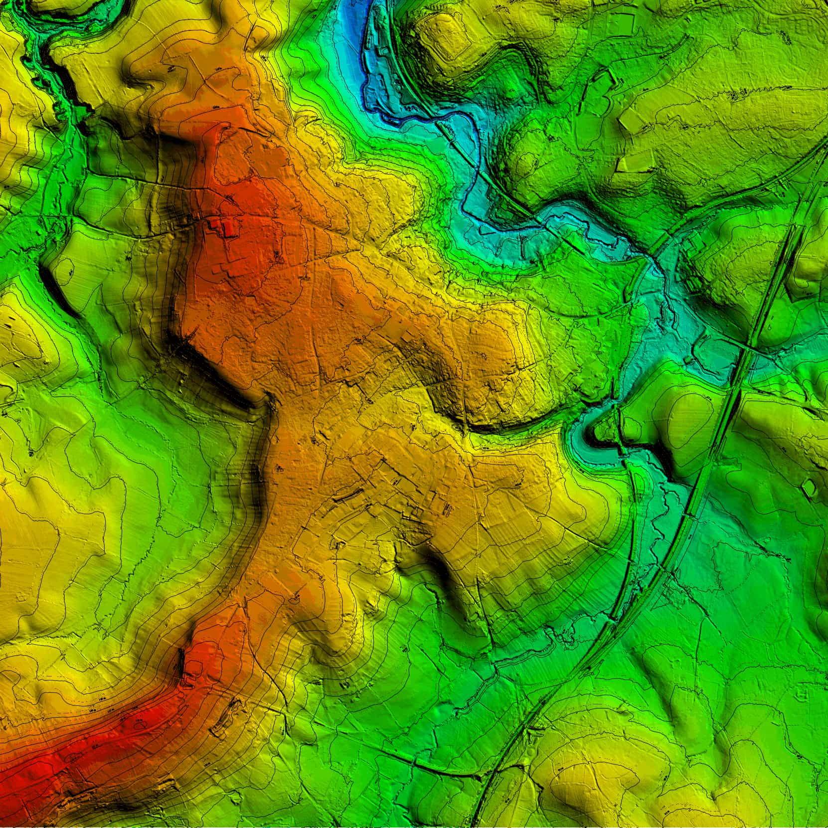
Frome Lidar Data
Single turbine visibity, split into different positions on the turbine
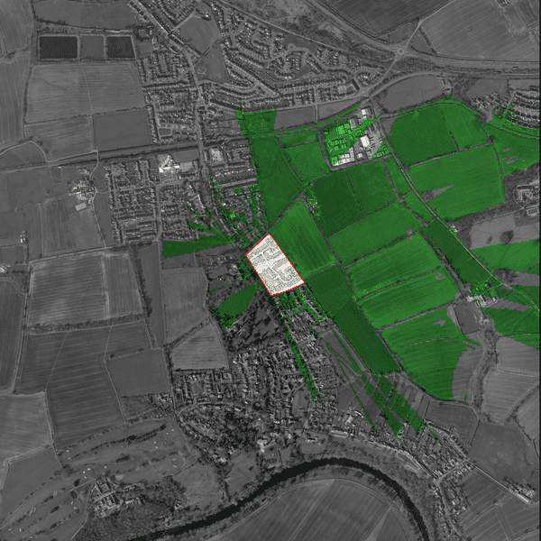
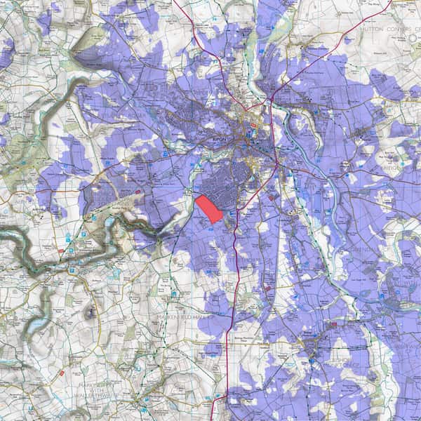
Bare Earth ZTV for Housing Development adjacent to UNESCO World Heritage Site
Bare Earth ZTV for Leisure Development